How to Volunteer
Everyone who contributes to Cities at Night is a volunteer, and includes people interested in protecting the night sky, field researchers, astronomers, etc. A wonderful global community that drives and keeps scientific research in the field of light pollution and remote sensing active.
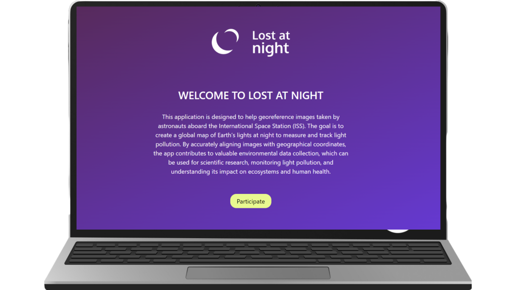
Interested in becoming a volunteer? Volunteering for Cities at Night is easy. You can now volunteer to help us georeference images taken by astronauts aboard the International Space Station (ISS). Check it out!
Lost at Night
With this new version, you will need to precisely align images with geographic coordinates.
Lost At Night is an iniciative of the PLAN-B Project, a project funded by the EU (Horizon Europe) within the framework of the EU Biodiversity Strategy for 2030.
Previous Contributions
With almost 10 years of operation, Cities at Night was born to raise awareness of the impact of artificial light at night, but from space! Until now, no one had thought that we were looking from the wrong angle, until Alejandro Sánchez de Miguel came along. And he demonstrated the powerful material that was in NASA’s image banks.
But before obtaining scientific value from these images, a series of tasks are necessary, and with which we involve citizens to help us build this map. These 3 tasks, classify, locate and georeference, together, have already helped scientific projects relate artificial light at night to their fields of study. Currently we only have Lost at Night active. Try it!

Dark Skies: Classify
Thanks to 17,000 volunteers Cities at Night has classified an impressive 130,000 ISS pictures so far using the Dark Skies application. In this task, our volunteers focused on identifying unlit areas and comparing them with those that are strongly impacted by artificial light.

Night Cities: Identify
Sometimes, even astronauts aren’t sure which part of the world they’ve captured in a photo. In this task, volunteers identified which cities or regions were represented in the images. We currently have more than 1000 geo-referenced images layered on top of the Cities at Night Map.

Lost at Night Georeference
Once we know the location of the city, the next task is the georeferencing process, which will allow us to link the identified photographs to a physical map. Thanks to the latest improved version of our Lost at Night tool, you will be able to accurately align the images with the geographic coordinates.

