Thanks to “Lost at night”

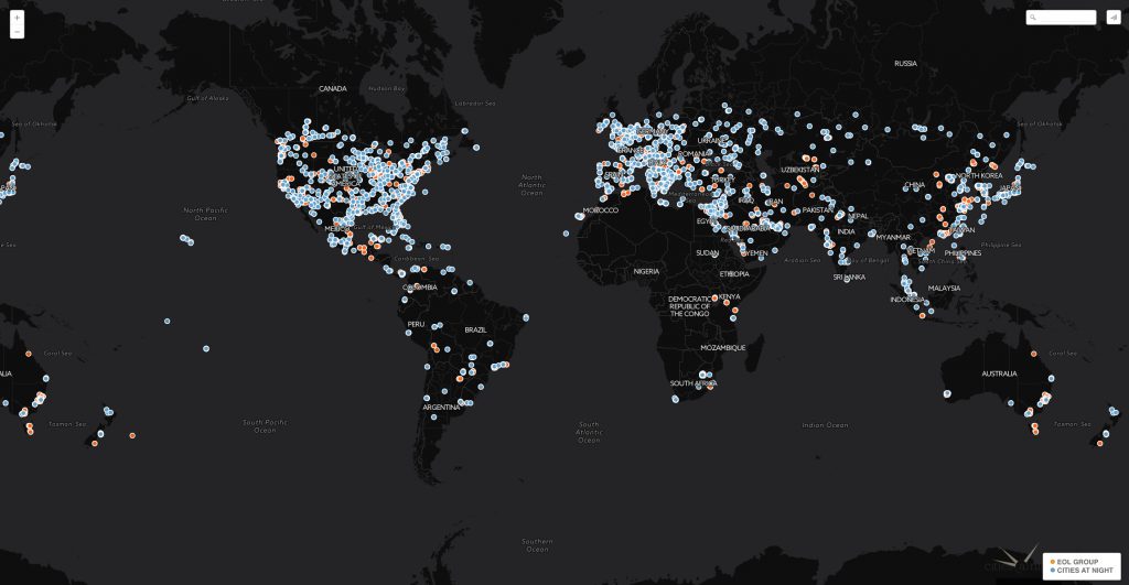
Although a substantial amount of photographs have now been classified as depicting cities, we still need to identify which cities they are. The Lost at Night application allows users to do just that. By consulting the image metadata we are able to know where the ISS was located approximately at the time a photograph was taken. To be precise; cities depicted in the ISS photographs should be in a 500 km area of the ISS nadir. With these approximations our volunteers have so far located more than 2500 images: City gallery
Now that they have been identified; choose any of the images below and try to geo-reference them with the help of the Night Cities application.
